
This week the team at USRI prepared for a project known as CloudMap. If you did not read my previous post, CloudMap is a collaborative initiative by multiple universities to map weather phenomena using unmanned systems. The next CloudMap project will be in Alamos Co, mapping heat inversions. Given that both Simon and I will be included in the project, we were assigned many preparing for it.
My week began by being introduced to a set of ground sensors. These sensors are small stands fitted with multiple sensors including wind direction and speed as well as humidity and temperature. The other Interns and I worked most of the week construction, wiring, and programming these devices.
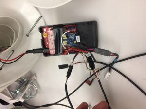
In addition, I finished wiring the small fixed wing aircraft that will carry the radiosonde unit mentioned in my previous post. this UAV will be part of the CloudMap project in Alamosa along with the ground sensors.
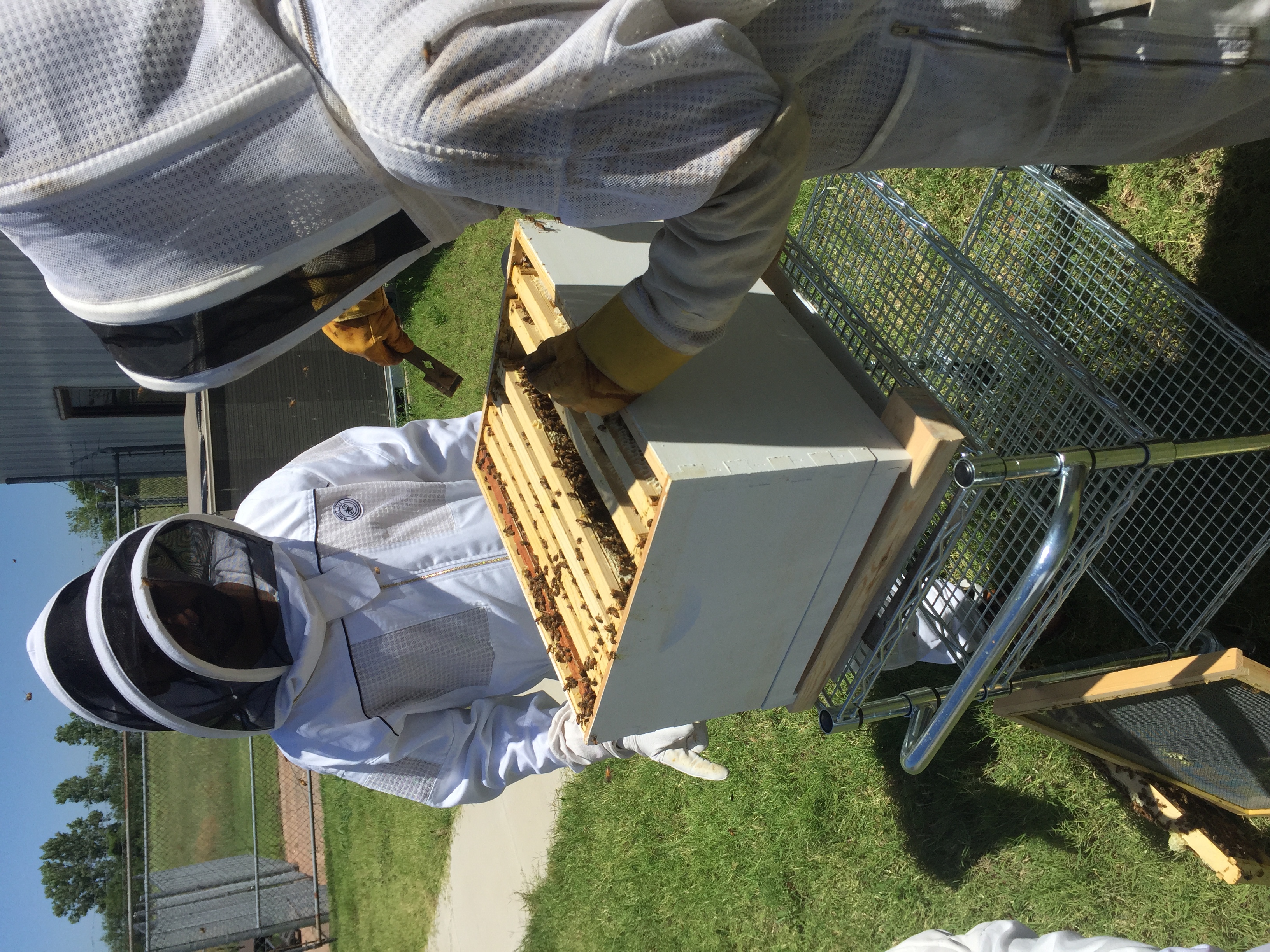
At the end of the week the interns were invited to the Lab of Prof. Faruque to learn how he is using bees to model advanced image based guidance systems for UAV’s. We were able to put on bee suits and look at the hive as well as become introduced to his studies and their implications.
Finally, we began working to design a system to feed wild pigs from a multi-copter (A UAV with 6 small vertical propellors). The system is intended to drop up to 30 pounds of corn at adjustable rates into isolated hog traps. This project will be a challenge and I look forward to solving it.
There are no comments published yet.