
12 Jul Yakelin Ramos- Energy and Geoscience at U Utah, Week 4
Hello! I’m back again with my weekly update, and to be honest, this one ended up feeling a bit lonelier than usual toward the end.
On Monday, I received word that my mentor, Professor Bry, would be away from Wednesday through the following Tuesday. While I was initially a little disappointed to lose that in-person guidance for most of the week, she kindly reassured me that I could still reach out with questions via email anytime during her trip. That helped ease my concerns and gave me the confidence to keep pushing forward independently.
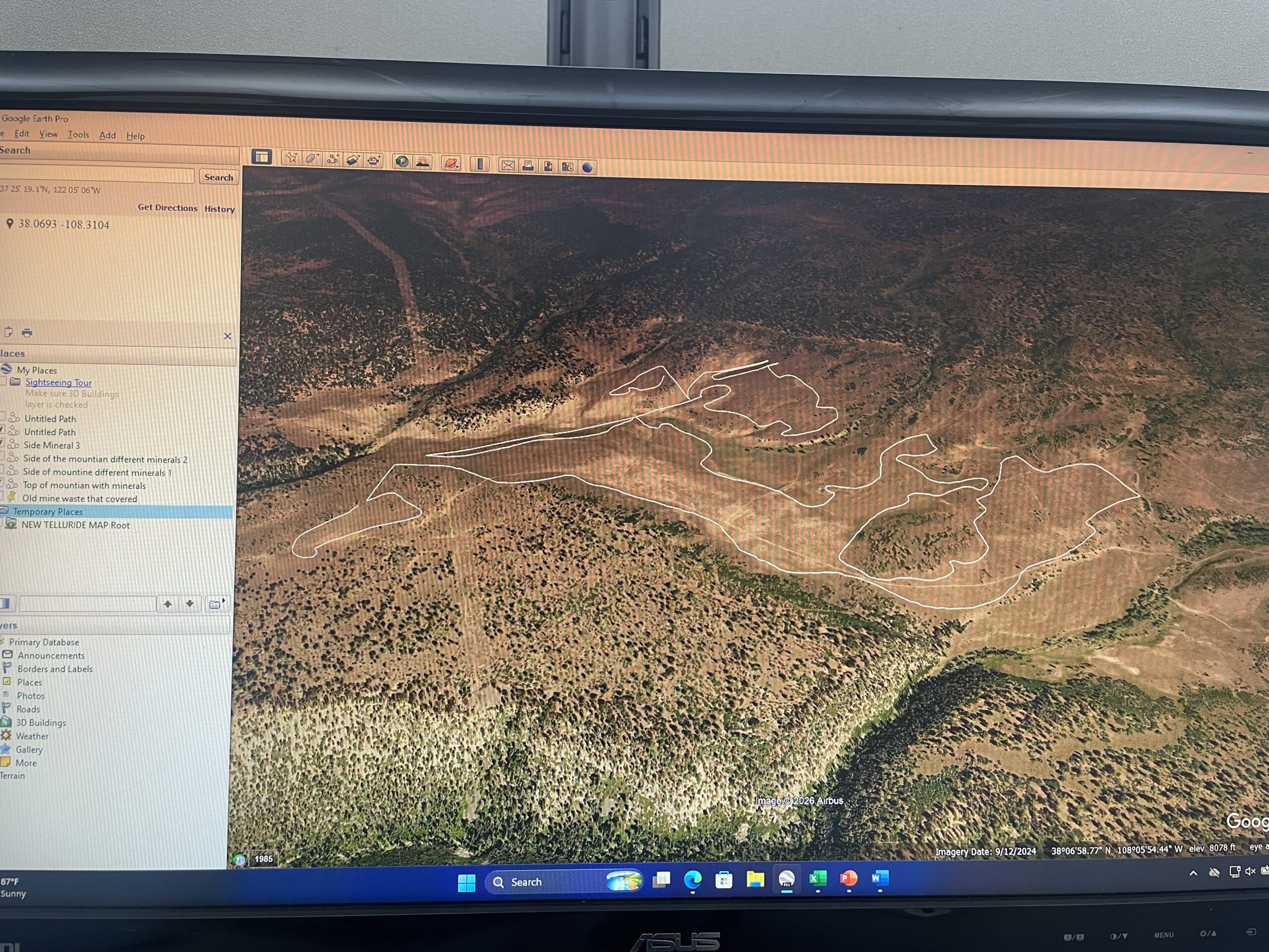
My main task for the week was to finish analyzing my geology map and identify areas that particularly caught my interest. Rather than choosing spots at random, I took a systematic approach. I carefully scanned across the entire spectral map, looking for distinctive “blotches” where multiple minerals showed up as colorful concentrations. Once I spotted promising clusters, I cross-referenced them with the standard satellite imagery from Google Earth.
This comparison step is crucial for accuracy. I’ve learned that if a colorful mineral signature appears in an area covered by dense vegetation, the spectral reading is often unreliable—plants can interfere with the signals and create misleading results. On the other hand, when those same mineral concentrations show up over bare rock, exposed soil, or sparsely vegetated land, the data tends to be far more trustworthy and scientifically valuable.
In addition to checking for vegetation interference, I focused heavily on valleys and mountainous terrain. These areas almost always produce more fascinating geological results than flat plains, as the natural folding, erosion, and uplift of the land tend to expose different rock layers and mineral deposits. I followed my usual process of toggling between the spectral map and Google Earth, zeroing in on patches of bare, exposed rock that could reveal clearer stories about the underlying geology.
One of the most exciting finds this week was the detection of hematite along the sides of several mountains. Seeing that distinctive signature appear consistently in those locations was genuinely thrilling! The presence of hematite in such accessible outcrops raises the intriguing possibility of historical or even future mining activity in the region. It’s amazing to think that these ancient mineral formations, shaped over millions of years, are still visible and potentially significant today.
When my mentor was gone, I was assigned a new worksheet one that makes me look at data and cross reference it to the geological map in order to verify if the the map is accurate according to the samples. I have yet to finish this work but I am well close to it!
Outside of my internship I’ve done a lot of walking around to see what stores are around and if I find any of interest luckily after some Google searches I found this really nice office supply store with tons of stationary! Unable to overcome my own self restraint I explored the store for quite a while and bought a fountain pen which I can’t seem to not use anymore. (I’d say fountain pens are better than ballpoint pens) Only now that I have two weeks left I plan to make the most of it and work hard with my current research. Until next week!
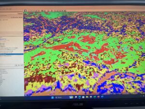
This is how a blob of multiple minerals looks like on the spectral view.

A quail I saw on my walk to the bus stop!
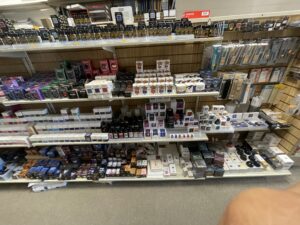
So much goodies here! I’ll definitely have to come by at least once more!!
No Comments